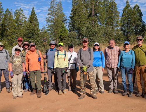
The Arnold Rim Trail Association is proud to partner with Avenza Maps so you always know exactly where you are on the Arnold Rim Trail or its many side trails! We are an all-volunteer community non-profit and donations are welcome!

INSTRUCTIONS:
- Open your camera on your phone
- Scan the QR code or Click Here to Get the Avenza Maps App.
- Download Avenza Maps and the Arnold Rim Trail map for FREE!
- Be sure to click the box to download the latest version which is named “Arnold Rim Trail 2024” that includes six miles of additional Arnold Rim Trail.
![]()